A shoreline transformed?
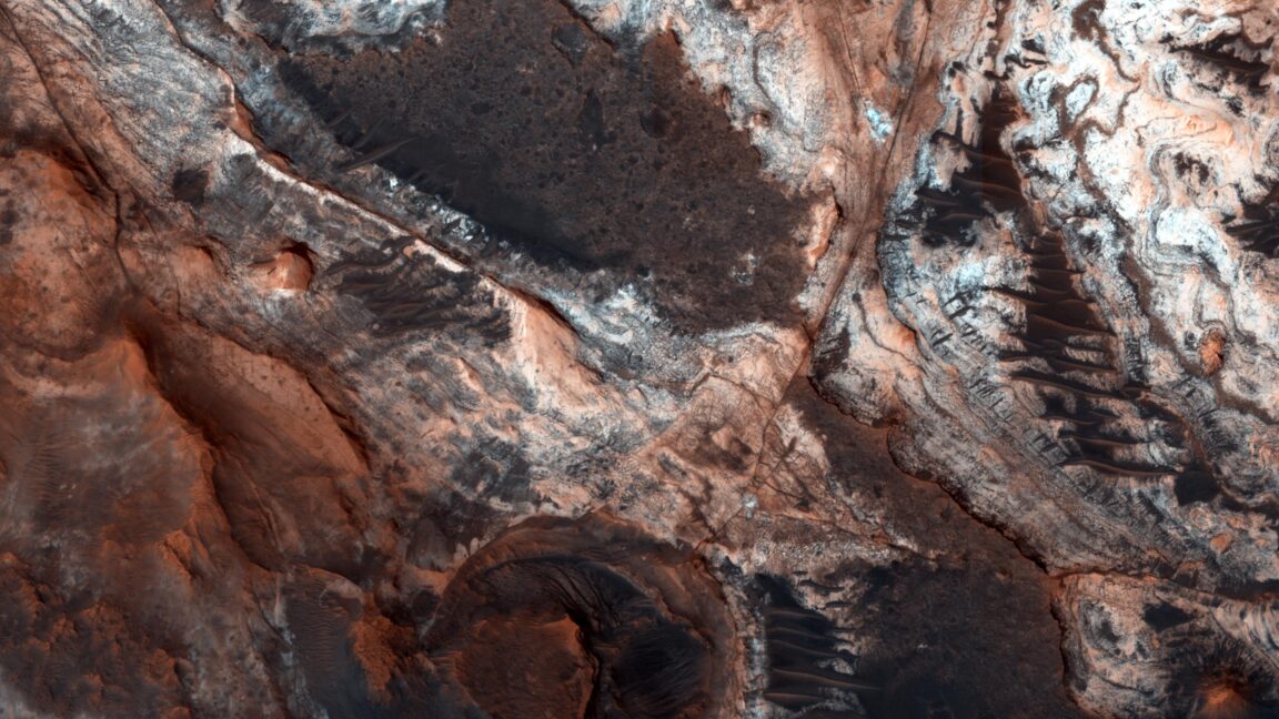
The huge area covered by these mounds gives a sense of just how significant this erosion was. “The dichotomy boundary has receded several hundred kilometres,” the researchers note. “Nearly all intervening material—approximately 57,000 cubic kilometers over an area of 284,000 square kilometers west of Ares Vallis alone—has been removed, leaving only remnant mounds.”
Based on the distribution of the different clays, the team argues that their water-driven formation took place before the erosion of the material. This would indicate that water-rock interactions were going on over a very wide region early in the history of Mars, which likely required an extensive hydrological cycle on the red planet. As the researchers note, a nearby ocean would have improved the chances of exposing this region to water, but the exposure could also have been due to processes like melting at the base of an ice cap.
Complicating matters further, many of the mounds top out below one proposed shoreline of the northern ocean and above a second. It’s possible that a receding ocean could have contributed to their erosion. But, at the same time, some of the features of a proposed shoreline now appear to have been caused by the general erosion of the original plateau, and may not be associated with an ocean at all.
Overall, the new results provide mixed evidence for the presence of a Martian ocean. They clearly show an active water cycle and erosion on a massive scale, which are both consistent with having a lot of water around. At the same time, however, the water exposure the mesas and buttes have experienced needn’t have come through their being submerged by said ocean and, given their elevation, might best be explained through some other process.
Nature Geoscience, 2019. DOI: 10.1038/s41561-024-01634-8 (About DOIs).

