When you buy through links on our articles, Future and its syndication partners may earn a commission.


In May, satellites orbiting Earth watched hundreds of wildfires blaze across Canada and Mexico, the smoke from them so thick in some places that it obscured the water beneath. The news comes straight after scientists analyzed satellite images to see scorched land twice the size of Manhattan in Greece, which suffered its worst wildfire this year after being baked by consecutive heat waves.
Researchers have concluded yet again that human-driven climate change is accelerating such extreme wildfires, disasters that have doubled in frequency and intensity over the past 20 years. Not only do they claim lives, but they also damage property and environment, pumping large amounts of smoke aerosols into the air, which are particles that waft across long distances and lower air quality in their wake. Mounting evidence also indicates aerosols of tiny sizes are inhalable and thus directly toxic to human health. But such flecks are not easy to see, making it difficult for scientists to predict their numbers, direction and overall effects.
In recent months, a European-Japanese satellite began watching the spread of such wildfire smoke particles, creating a catalog that scientists say would eventually benefit weather forecasting.
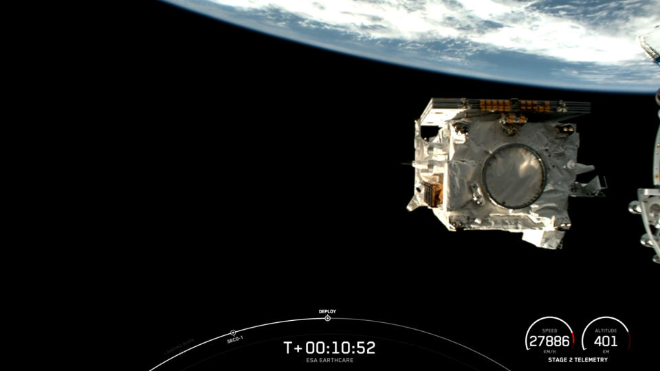
EarthCARE, short for Earth Cloud Aerosol and Radiation Explorer, launched into orbit on May 29 to study how clouds and aerosols affect Earth’s “energy balance,” which is the amount of energy coming in and out of our planet’s atmosphere. Clouds and aerosols influence this balance by reflecting incoming energy from the sun back to space and, to some extent, by trapping outgoing energy. Thus, scientists say studying this complex relationship “is fundamental to understanding Earth’s climate and how it will change.”
Related: Human-caused global warming at all-time high, new report concludes
From an orbit 244 miles (393 kilometers) above Earth’s surface, an atmospheric lidar instrument onboard the $870 million satellite profiled a strip of North America earlier this month, showing a striking red layer of aerosols released from forest fires that have burned in Canada this summer over multiple weeks. Those particles, spread by wind away from the wildfires, have the potential to disrupt weather patterns and accelerate global warming, the European Space Agency (ESA) said in a recent statement.


Related Stories:
— Beavers are helping fight climate change, satellite data shows
— Scientists are mapping Earth’s rivers from space before climate change devastates our planet
— How satellites could protect archaeology sites vulnerable to climate change
The satellite image also shows a spattering of green and yellow aerosols just beneath the wildfire smoke, released both by natural sources such as dust blowing from the deserts and sea spray from the ocean, and human activities like burning wood and industrial emissions, ESA noted.
The profile was captured just a day before Debby made landfall in Florida as a Category 1 hurricane and drenched the state’s Big Bend coast in more than 10 inches (25 centimeters) of rain. The hurricane can be seen on the right sporting very thick clouds as it strengthened in the Gulf of Mexico, swirling close to Florida.
Fires ignited to clear agricultural land also release similar particles into the atmosphere, as seen in this satellite image of the land over Africa, particularly from Angola to Chad. “A very dense layer of aerosols from biomass burning […] is common at this time of the year over large parts of the continent,” ESA said in the statement.
